GOVERNMENT OF INDIA
DigiLocker Manual (PDF)
Step-by-step registration & login
guide for DigiLocker NSSO



Ministries/Departments
States/UTs
PM GatiShakti brings together geospatial datasets from Central Ministries, Departments and States/UTs to provide a common planning environment. The platform has expanded from core infrastructure networks to social and economic sector datasets, enabling agencies to assess infrastructure requirements in a wider regional context.
Road, rail, ports, aviation, waterways, power, petroleum and other infrastructure networks can be viewed together to assess multimodal connectivity, optimise routes and align projects with existing assets.
Data relating to healthcare facilities, educational institutions and other social infrastructure can support the identification of service gaps, accessibility issues and requirements for new facilities.
Industrial clusters, production centres, logistics hubs and other economic assets can be considered alongside transport networks to improve connectivity and support regional economic development.
The platform supports route and alignment optimisation, land-acquisition planning, identification of utility and environmental constraints, and assessment of first-mile and last-mile connectivity. It also facilitates planning for district-level development through the District Master Plan and the Area Development Approach. These capabilities can help project proponents identify potential issues at the planning stage, improve inter-agency coordination and reduce avoidable delays during implementation.
No data uploaded yet.
No data uploaded yet.
No data uploaded yet.
No data uploaded yet.
No data uploaded yet.
No data uploaded yet.
No data uploaded yet.

No data uploaded yet.
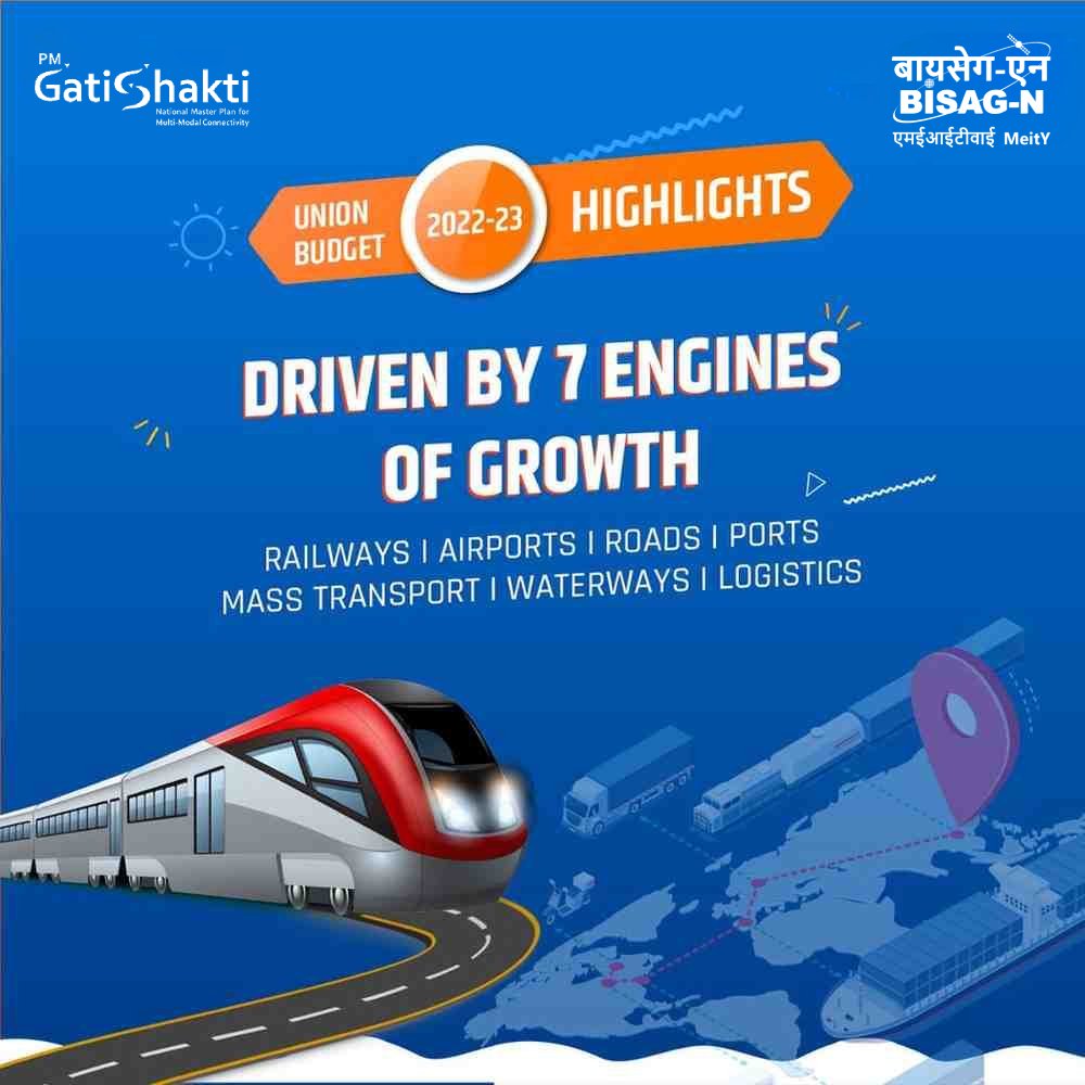
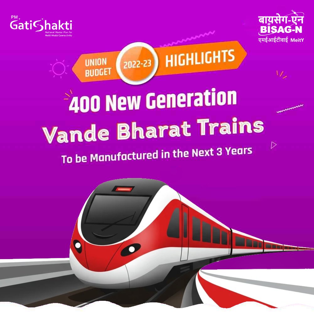
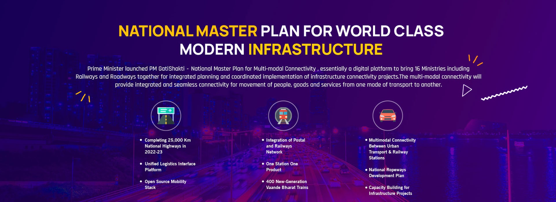
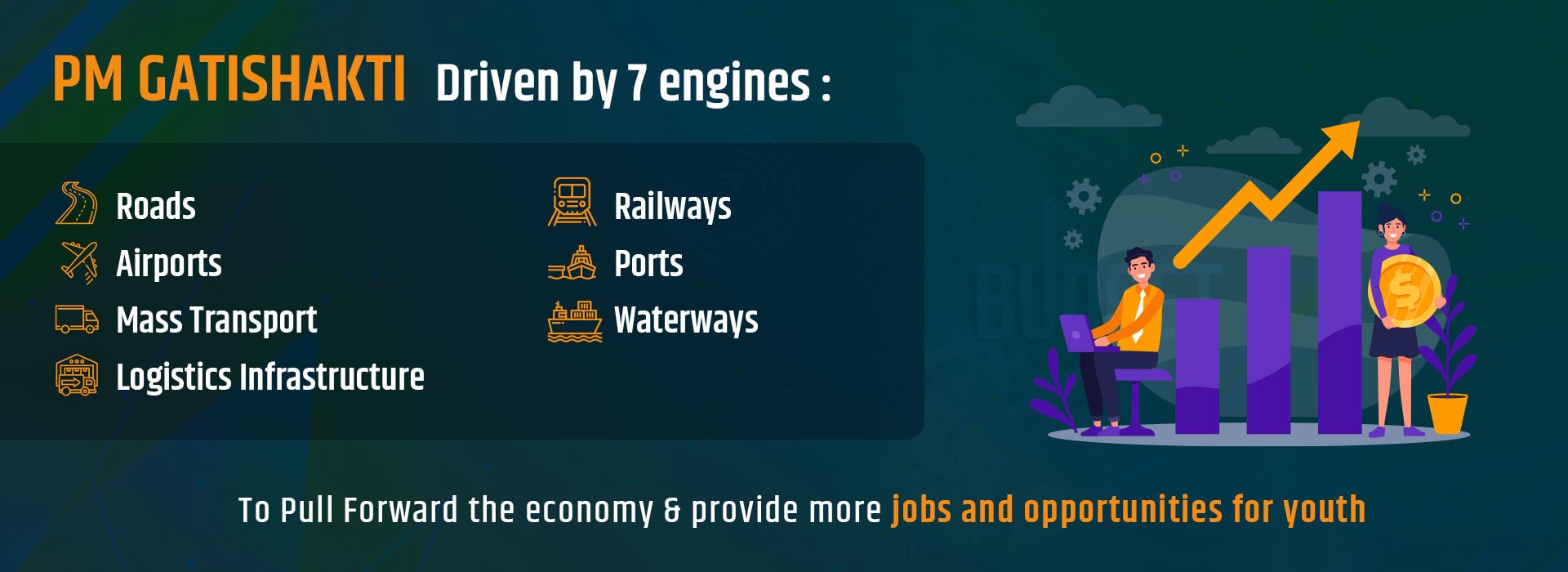
PM GatiShakti: A Top Priority For The Indian Government. The GatiShakti national master plan, supported by seven engines of infrastructure, aims to develop a multi-modal network with comprehensive support for planning, financing, innovation, and technology.
With the resolution of self-reliant India, we are laying the foundation of India for the next 25 years. PM Gatishakti National Master Plan is going to take this self-confidence, self-confidence and resolve of self-reliance of India. This national masterplan will give momentum to 21st century India
The people of India, India's industry, India's business world, India's manufacturers, India's farmers are at the center of this great campaign of speed power. It will give new energy to present and future generations of India to build India of 21st century, remove obstacles in their way
The PM Gatishakti Master Plan not only brings together the government process and various stakeholders involved in it, it also helps in interlinking different modes of transportation. This is an extension of Holistic Governance
PM GatiShakti promotes coordinated infrastructure planning, efficient resource utilization and improved multimodal connectivity through integrated geospatial information and collaborative decision-making.
Bring relevant infrastructure information together for holistic and future-ready planning.
Improve collaboration among Ministries, Departments and stakeholders.
Support the identification of gaps and enable optimized, cost-effective planning.
Enable planning based on accurate, up-to-date and accessible geospatial information.
Make authorized information easier to discover, understand and use.
Support updated data, evolving planning needs and long-term national development goals.